Today, on the occasion of World Hydrography Day, the science concerned with the systematic study and characterization of the physical attributes of the Earth’s surface that are conducive to navigate, both the navigable areas of water bodies and the contiguous coastal regions.
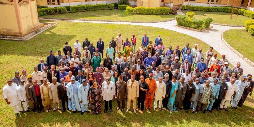
The Ondo State Government shares a remarkable development in the State by unveiling the Alape River Charts—a groundbreaking initiative that will revolutionize maritime navigation in our region. This collaborative effort between the State Government and the Navy Hydrography Unit highlights her commitment to strategic development of the maritime sector.
Mr. Babajide Akeredolu, DG of PPIMU alongside his team, developed a well-thought-out plan to effectively leverage our inland maritime capabilities, ensuring a streamlined and efficient process for reaping its benefits.
The newly unveiled Maritime Chart of Alape provides precise navigation routes, spanning from Ipare in Ilaje to Apapa. This comprehensive chart will be instrumental in shaping our transportation strategy along the inland waterways, empowering our growth plans in agriculture (Oil Palm and Cocoa) and minerals (Bitumen, granite, and more).
Ondo State is bestowed with the Alape River, a valuable resource that holds immense potential. We express our appreciation to the Nigerian Navy for their assistance in recognizing the significance of this river and the multitude of benefits it offers. With the navigational chart provided by the Nigerian Navy, the state can effectively harness the remarkable opportunities presented by this historic gift. We can now confidently navigate the waters, fostering seamless trade and unlock the immense potential of our resources.
Under the visionary leadership of the Executive Governor of Ondo State, Arakunrin Oluwarotimi Akeredolu.SAN, Ondo State recognizes its capacity to be both independent, with the ongoing deep seaport project, and a complement to the bustling Lagos Ports.
These invaluable charts will be housed within the Ministry for Transport, and eventually made accessible through the Ondo State GIS platform. This accessibility will benefit investors, security agencies, and all stakeholders involved in our region’s maritime activities. By embracing technology and fostering collaboration, we are creating an enabling environment for investment, security, and progress.
On this World Hydrography Day, let us celebrate the milestone achieved in Ondo State—the unveiling of the Alape River Charts. This momentous occasion signifies our unwavering commitment to harnessing the power of hydrography for the benefit of our people, our economy, and our region’s overall development. Together, let us navigate towards a brighter and more prosperous future on the waves of progress.